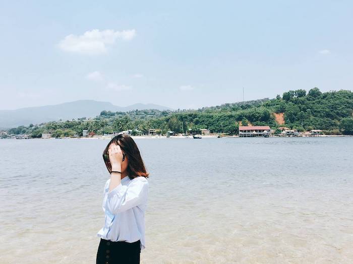
The road turning to the sea in Phu Yen only appears at low tide, but with beautiful surroundings, this place becomes the ideal ‘virtual living’ spot for young people.
In addition to owning a unique natural scenery and countless magical virtual living corners, here is also a famous seafood bowl of the region! So come here, of course, to enjoy the scenery, and there are also countless delicious fresh foods waiting for you!
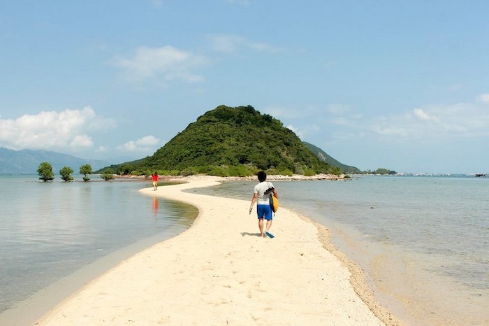
Nhat Tu Son Island is located to the north of Tuy Hoa city, in the territory of Song Cau town. This is a small island with a sea lane in Phu Yen located in Xuan Dai Bay, a special attraction in this island is that the road connecting from the mainland to the island will be clearly visible when the water recedes depending on the weather conditions. into the tide.
1. Located on Nhat Tu Son Island
From Tuy Hoa city, you move north for about 40km to Chanh Nam village, just cross the bridge, turn right. Currently, Nhat Tu Son is available on Googlemaps, so you can look up the route easily. On the mainland, you can park your car at people’s houses (about 3k to 5k). Called Nhat Son Tu because nature cleverly drew a line across the blue sea, the shape of the island resembles the most in Chinese characters.
 This place is known as the most beautiful island in Xuan Dai Bay in Phu Yen province (Photo: dulichfun.com)
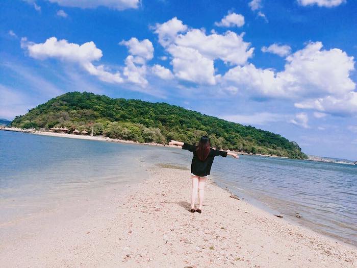
Nhat Son Tu sea-crossing road is impressive with a length of about 300m, lying in the water and completely “revealing” when the tide recedes. Interestingly, the water will recede in the afternoon from the 1st to the 15th of the lunar calendar, the rest of the water will recede in the morning. The landscape on the island is very rich and green. So, when holding hands with your lover walking on this road, everything seems to become extremely romantic with not only the blue sea and immense sky, but also the majestic scenery of the mountains and forests. It’s great, isn’t it!
Nhat Tu Son originates from the shape of the island that can be located like the word “Nhat” in Chinese. According to the old fisherman on the island, the island is like a natural breakwater in the rainy and stormy seasons, as a wind shield for the two fishing villages of My Hai and My Thanh next to it, hidden behind. Not only that, it is said that from thousands of years ago, the people here always considered Nhat Tu Son as a god guarding the sea mouth, keeping the peace of the village, so they were very conscious of protecting the island. In the past, there was an ancient temple on the island, but now only the remains of the old traces are the tomb of a monk lying in the middle of the island.
2. When to go to Nhat Tu Son
If it’s not a rainy day, it’s best to go on a sunny day, from the beginning of February to the end of August every year, it is the time to avoid the typical rainy and stormy season of the Central region. Nhat Tu Son Island has a road on the sea, so if you want to know when the water dries up for convenience, you need to follow the way to calculate the receding tide according to the experience of fishermen!
Tide calculation: The road connecting the mainland to the island is hidden under the sea current, the line appears at low tide and disappears at high tide.
� From the 1st to the 15th lunar month: The water will recede in the afternoon.
� From the 15th to the end of the lunar month: The water will recede in the morning. If you want to take good pictures, you should go at noon, when the road appears blurry under the sea.
 Rest assured, the highest water level at this road is only up to the knee, at low tide you can drive through (Photo: khongsolac.com)
3. What to play at Nhat Tu Son?
Nhat Tu Son Island is famous for its abundance as a primeval forest that is green all year round, the mountain range on the island stretches from North to South with high craggy cliffs, precious vegetation that many people come to hunt for. precious medicinal plants are available in nature, high cliffs and caves are created naturally from the erosion of waves.
It is recommended to combine going to many places with Nhat Tu Son such as: Ong Cop wooden bridge, Ganh Da Dia, Mang Lang church, Bai Xep, Tien Chau port, … for a richer schedule. Especially the seafood on the island is very diverse and rich, the price is extremely reasonable because the seafood is raised from the famous seafood bowls of Nau, so if you go here, remember to eat to satisfy your heart!
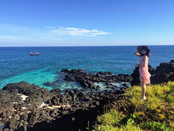
 With the advantage of being bestowed by nature, the wild features are gradually being accepted by more tourists because of their natural beauty and rich products (Photo: gody.vn)
Note: Because this is a private island, it is not allowed to set up a tent for overnight camping, and there is no development service, so you can only visit during the day and then return, remember to maintain hygiene, do not discharge trash on the island!
If you do not want to waste time and effort planning the island, you can use the day tour of the local people, the tour includes a car, a shuttle boat, lunch on the hut and all the necessary activities. so you don’t have to worry anymore. The price of the tour is currently about 280k / person.
Being likened to ” Diep Son of Phu Yen province “, although it is not possible to develop services and exploit as well as Diep Son island in Khanh Hoa, Nhat Tu Son is oriented to be one of the key tourist areas of Phu Yen . Yen. Surely this road turning from the sea to the island in Phu Yen will be a masterpiece of nature that you are looking to explore.


